

Tensions have raised to new heights between North and South Korea as both nations trade accusations and military threats against each other. Things between the two countries were not good since the 1950s war. Now it is even deteriorated from the last month, giving signs for greater conflict.
Accusations of Drone Incursions
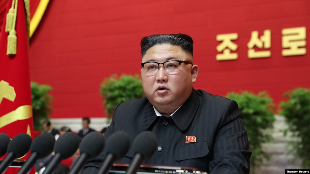
Among the main reasons behind the current tensions is an accusation made by North Korea that South Korea sent drones into Pyongyang, the country's capital. The North claims these drones allegedly spread propaganda leaflets all over the city, which North Korea considers an outright provocation. Such provocation could lead to "horrible consequences" according to Kim Yo Jong, the sister of North Korean leader Kim Jong Un. North Korea has even amended its Constitution which officially designate South Korea as a “hostile state” for the first time. South Korea initially denied the charges, although its Joint Chiefs of Staff later stated that they could neither confirm nor deny the charges.
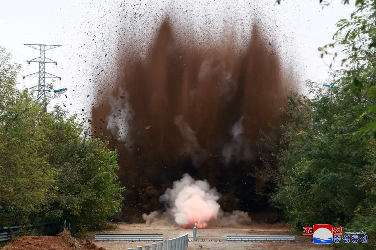
In response, North Korea destroyed parts of two vital roads that link it to South Korea. Those roads- Gyeongui and the Donghae were visible symbols of cooperation between the two Koreas. Even though these roads have been closed for many years and the tearing of them reportedly sends a clear message from North Korea that it is not interested in dialogue or reconciliation with the South at this time.
Military Build-Up
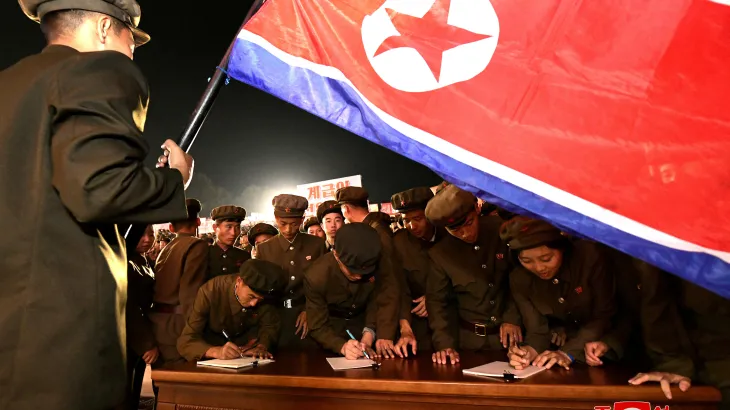
North Korea also declared that 1.4 million youth want to join its army, indicating a serious military mobilization. The South Koreans reportedly have also been taking defensive measures by firings weapons on their side of the border and increasing surveillance activities along the North border. South Korean authorities had also declared several areas along the border "danger zones."
Inputs by Agencies
Image Source: Multiple Agencies
Ⓒ Copyright 2024. All Rights Reserved Powered by Vygr Media.