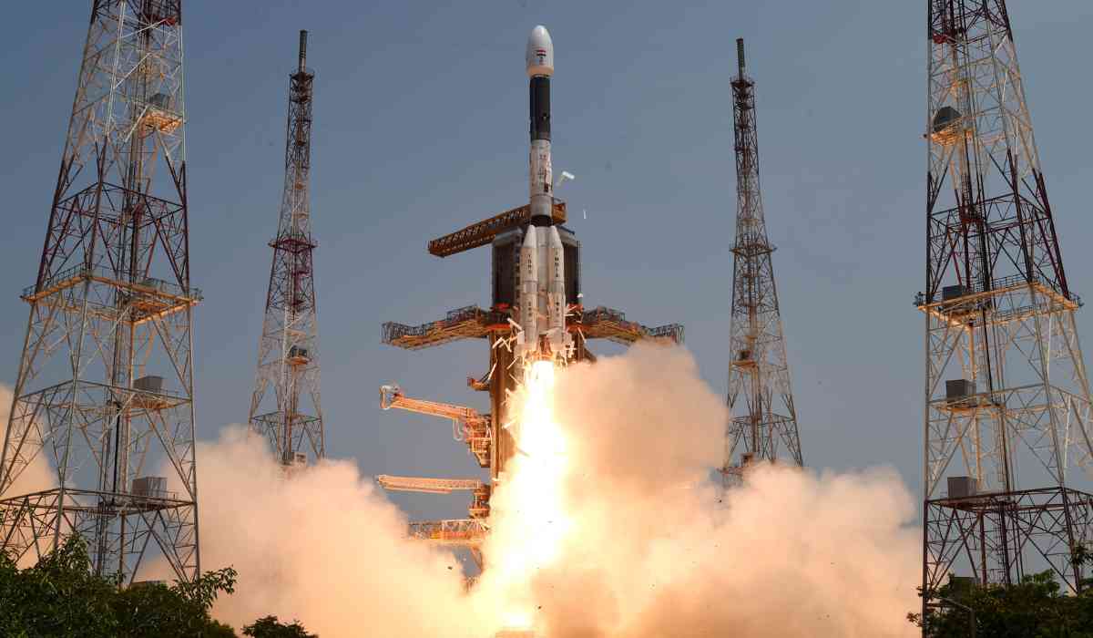
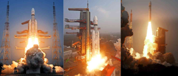
A cutting-edge navigational satellite was successfully launched by the Indian Space Research Organisation (ISRO) using the GSLV rocket from Sriharikota in Andhra Pradesh, marking a significant advancement. By delivering real-time data, this project seeks to revolutionise location and timing services. The second series of satellites planned for the Navigation with Indian Constellation (NavIC) services include the NVS-01 satellite, which is a trailblazing addition. Its major goal is to transmit precise location and timing data across India and a large area that extends around 1,500 kilometres from the mainland.
ISRO intends to strengthen the current NavIC system with the NVS series of satellites, as well as add cutting-edge technologies that expand its capabilities. With this launch, India enters a new era of satellite-based navigation, opening up a wide range of opportunities and advantages for several industries. India's goal of self-reliance in the field of navigation technology has reached a key turning point because of ISRO's innovative strategy and the effective deployment of NVS-01. As the country adopts this cutting-edge satellite, the groundwork is laid for a positioning and timing system that is more precise, effective, and resilient and can serve the different demands of India and its surrounding areas.
MISSION LAUNCHED
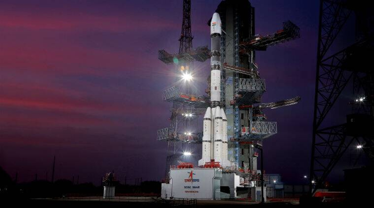
The NVS-01 navigation satellite, weighing 2,232 kg, was launched on the 15th mission of the Geosynchronous Satellite Launch Vehicle (GSLV). According to sources, the GSLV, which has a height of 51.7 metres, sent the satellite into orbit. The NVS-01 satellite was successfully put in a Geosynchronous Transfer Orbit after a perfect 19-minute flight. According to ISRO, NVS-01 will be guided into its designated Geosynchronous orbit throughout the next phases by scheduled orbit-raising manoeuvres.
According to a statement from ISRO, the rocket is planned to send the satellite into a geosynchronous transfer orbit (GTO) at a height of around 251 kilometres about 20 minutes into the mission. L1, L5, and S-band navigation payloads are installed aboard the NVS-01 satellite. Notably, this second-generation satellite series differs from its forerunners in that it has an indigenously manufactured Rubidium atomic clock.
NAVIC SERIES
With a variety of functions that cover the terrestrial, aerial, and marine domains, the NavIC family of satellites ushers in a new age of navigation. The NavIC system opens up a wide range of opportunities for numerous industries, including maritime fishing, location-based services on mobile devices, and precision agriculture.
This mission is notable for being the GSLV's sixth operational flight with an indigenous cryogenic stage, demonstrating India's independence in space technology. With the successful launch of NVS-01, ISRO expects the satellite to have a mission life of more than 12 years, thus enhancing its endurance and toughness.
THE NAVIGATIONAL SATELLITE SERIES
The Indian Regional Navigation Satellite System (IRNSS), often known as NavIC, is an advanced navigation system made up of a constellation of seven satellites and a network of continually operating ground stations. Seven of the original eight satellites are still functioning in the system today, according to sources. Three satellites are in geostationary orbit and four are in geosynchronous orbit, making up the constellation. The first satellite, IRNSS-1A, was launched on July 1, 2013, and the eighth satellite, IRNSS-1I, was launched in April 2018. These events marked the beginning and end of the construction of NavIC. India's Prime Minister changed the system's name to NavIC in 2016 at the launch of its seventh satellite (IRNSS-1G).
The International Maritime Organisation (IMO) recognised NavIC as a component of the World-Wide Radio Navigation System (WWRNS) for use in operations in the Indian Ocean Region in 2020, and it has since achieved widespread acceptance. The system's capabilities include a wide range of uses, including navigation on land, in the air, and at sea. Particularly in sectors like mining and transportation, it may help with fleet management, vehicle monitoring, and disaster management. Additionally, NavIC may be connected to mobile devices to provide improved navigation services. Additionally, it offers exact timing, which is necessary for systems like ATMs and power grids, and it makes it easier to collect mapping and geodetic data. With the aid of the dependable positioning, timing, and navigation services provided by NavIC, India has made great strides in satellite navigation technology. It is a flexible instrument with a wide range of possible applications due to its comprehensive features.
© Copyright 2023. All Rights Reserved Powered by Vygr Media.

