
 By
By 
A fresh spell of intense rainfall is sweeping across parts of northern and central India, with Uttar Pradesh, Uttarakhand, Chhattisgarh and Madhya Pradesh among the areas facing the strongest weather activity over the next few days.
The India Meteorological Department (IMD) has warned of heavy to very heavy rainfall in several regions, with extremely heavy rain possible at isolated locations in Uttar Pradesh and Uttarakhand. Thunderstorms, lightning and strong winds are also expected, raising concerns over flash flooding, waterlogging, landslides and disruption to road connectivity.
The developing weather situation comes at a time when the southwest monsoon is already beginning its seasonal withdrawal from parts of northern India. However, a combination of weather systems has temporarily strengthened rainfall activity, producing what could be one of the final significant monsoon spells of the season over the region.

Uttar Pradesh faces intense rainfall over the next 48 hours
Uttar Pradesh is emerging as one of the main areas of concern. The state is expected to see widespread rain and thunderstorms, with eastern Uttar Pradesh likely to receive heavy to very heavy rainfall and isolated extremely heavy showers, while western districts are also expected to experience intense rainfall.
The latest forecast indicates that the heaviest activity will continue through September 26 and into September 27, before weather conditions are expected to gradually ease. Several districts have been placed under heightened watch because intense rainfall could quickly lead to waterlogging and flash-flood-like conditions.
Authorities have been instructed to maintain heightened vigilance, particularly in areas vulnerable to flooding. District administrations have also been asked to monitor conditions on the ground and ensure that emergency arrangements are ready.
Among the areas identified as vulnerable are several districts in eastern and central Uttar Pradesh, including Gorakhpur, Kushinagar, Deoria, Maharajganj, Sant Kabir Nagar, Siddharthnagar, Basti, Gonda, Shravasti, Balrampur, Bahraich, Lakhimpur Kheri, Ayodhya, Barabanki, Lucknow, Kanpur, Banda and Chitrakoot, among others.
The rainfall is already making its presence felt. Lucknow recorded 50.6 mm of rain between 8:30 am and 5:30 pm on Friday, while several other parts of the state recorded substantial rainfall. Bahraich received 103.6 mm during the reported period, while other districts also recorded significant precipitation.
Temperatures are expected to fall noticeably as well, with maximum temperatures likely to decline by around 4-7 degrees Celsius over the next 48 hours in several areas. Strong winds accompanying thunderstorms could reach 40-50 kmph, with higher gusts possible in isolated locations.
Uttarakhand on alert as heavy rain raises landslide concerns
The situation is particularly sensitive in Uttarakhand, where heavy rainfall combined with mountainous terrain can quickly translate into landslides, road blockages and flash floods.
The state is expected to experience widespread rainfall from September 26 to 28, with heavy to very heavy rain forecast in several locations. Both the Kumaon and Garhwal regions are expected to remain active during the spell.
Districts including Nainital, Champawat, Pithoragarh, Bageshwar and Udham Singh Nagar are among the areas expected to receive intense rainfall. Thunderstorms, lightning and gusty winds are also possible.
The combination of saturated ground, steep slopes and intense bursts of rain increases the possibility of landslides and road disruptions in vulnerable hill areas. Rising water levels in rivers and streams are another concern, particularly if rainfall remains persistent.
Authorities have urged residents and visitors to exercise caution and avoid unnecessary travel during periods of intense rainfall.
Chhattisgarh battles flooding and waterlogging
While Uttar Pradesh and Uttarakhand prepare for another round of heavy rain, parts of Chhattisgarh are already dealing with the consequences of persistent rainfall.
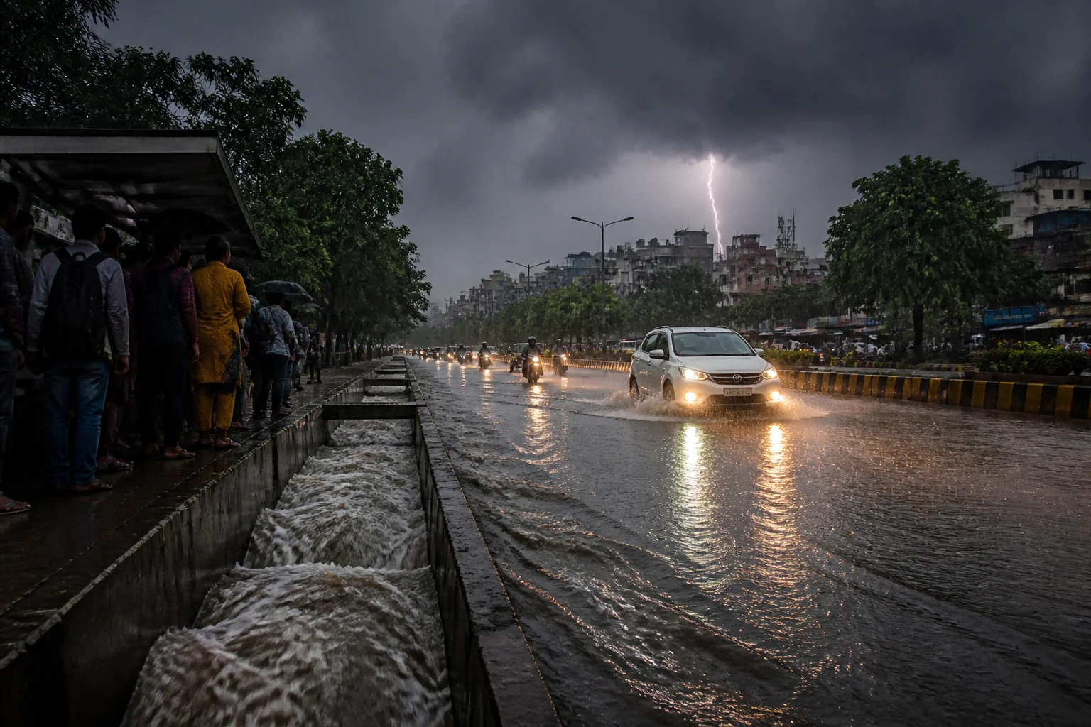
Several areas have reported flooding and waterlogging, with swollen rivers and local streams affecting low-lying areas and road connectivity. Rain-related incidents have also resulted in deaths, underscoring the seriousness of the situation.
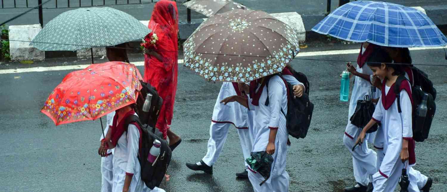
The weather conditions have prompted authorities to take precautionary measures for schoolchildren. Schools have been closed in several districts, including Dantewada, Bijapur, Kondagaon, Kanker, Bastar, Gariaband, Dhamtari and Durg, as heavy rain disrupted transportation and affected vulnerable areas.
The state government has also placed district administrations on alert as rainfall continues to affect communities.
The broader weather system has been particularly active across central India. Chhattisgarh and eastern Madhya Pradesh are among the areas expected to receive very heavy rainfall, while thunderstorms and gusty winds could affect other parts of the region.
Delhi-NCR may also receive rain
Delhi-NCR is not expected to escape the changing weather pattern entirely.
Although the southwest monsoon has already withdrawn from Delhi, light to moderate rainfall remains possible over the capital and surrounding areas as the current weather systems interact.
The capital is expected to see spells of rain and thunderstorms over the coming days, while neighbouring Haryana and parts of the wider northwestern region may also experience unsettled weather.
The recent rainfall is also expected to keep temperatures relatively moderate compared with the warmer conditions seen earlier in the week.
Why is the weather turning active again?
The renewed rainfall is linked to a deep depression that developed over the Bay of Bengal region and moved inland across Odisha and Chhattisgarh, gradually travelling northwestward.
As the system moves, it is drawing moisture into central and northern India and strengthening rainfall across its path. Its interaction with another upper-air weather system, including a western disturbance, is further supporting rainfall over northern areas.
The timing is notable because the monsoon withdrawal process has already begun across parts of northern India. The latest weather activity could temporarily slow that withdrawal before the seasonal transition resumes.
This means the current spell may represent something of a late-season surge in monsoon activity, rather than the beginning of a new prolonged monsoon phase.
Heavy rain expected across several other states
The impact of the weather system is not limited to Uttar Pradesh, Uttarakhand and Chhattisgarh.
The latest forecasts indicate rainfall activity across a broad belt of the country, including Madhya Pradesh, Bihar, Jharkhand, Odisha, Himachal Pradesh, Punjab, Haryana, Rajasthan and parts of the northeast.
Thunderstorms and lightning are also expected in several states, while parts of Andhra Pradesh may experience rain and strong surface winds through the coming days.
In some areas, wind speeds could reach 40-50 kmph, with stronger gusts possible during thunderstorms. Such conditions can lead to fallen trees, localized power disruptions and difficult driving conditions.
Flash floods, lightning and landslides remain key risks
For residents in the affected regions, the primary concern is not simply the amount of rain but the intensity and speed at which it may fall.
Short periods of extremely heavy rainfall can overwhelm drainage systems, cause sudden water accumulation and push rivers and streams above safe levels. In mountainous Uttarakhand, the same rainfall can destabilize slopes and trigger landslides.
Lightning is another significant danger during thunderstorms. People have been advised to avoid exposed areas, open fields, isolated trees and other unsafe locations during lightning activity.
Motorists should also exercise caution on waterlogged roads, while residents in low-lying or flood-prone locations should remain alert to local administrative warnings.
What happens next?
The current weather spell is expected to remain active through the weekend, with September 26 and 27 likely to be particularly important for Uttar Pradesh and Uttarakhand. Rainfall activity should gradually weaken in several areas thereafter, although some regions may continue to receive showers into September 28 and beyond.
For now, authorities across vulnerable districts are maintaining heightened preparedness, while residents are being urged to follow official weather advisories and avoid unnecessary travel during severe weather.
The late-season rain may offer some relief from high temperatures, but in areas already saturated by earlier rainfall, another intense spell can quickly turn into a serious flooding or landslide threat. As the monsoon prepares for its eventual retreat, northern and central India are facing a final reminder that the season can remain volatile right until the end.
With input from agencies
Image Source: Multiple agencies
© Copyright 2026. All Rights Reserved. Powered by Vygr Media.