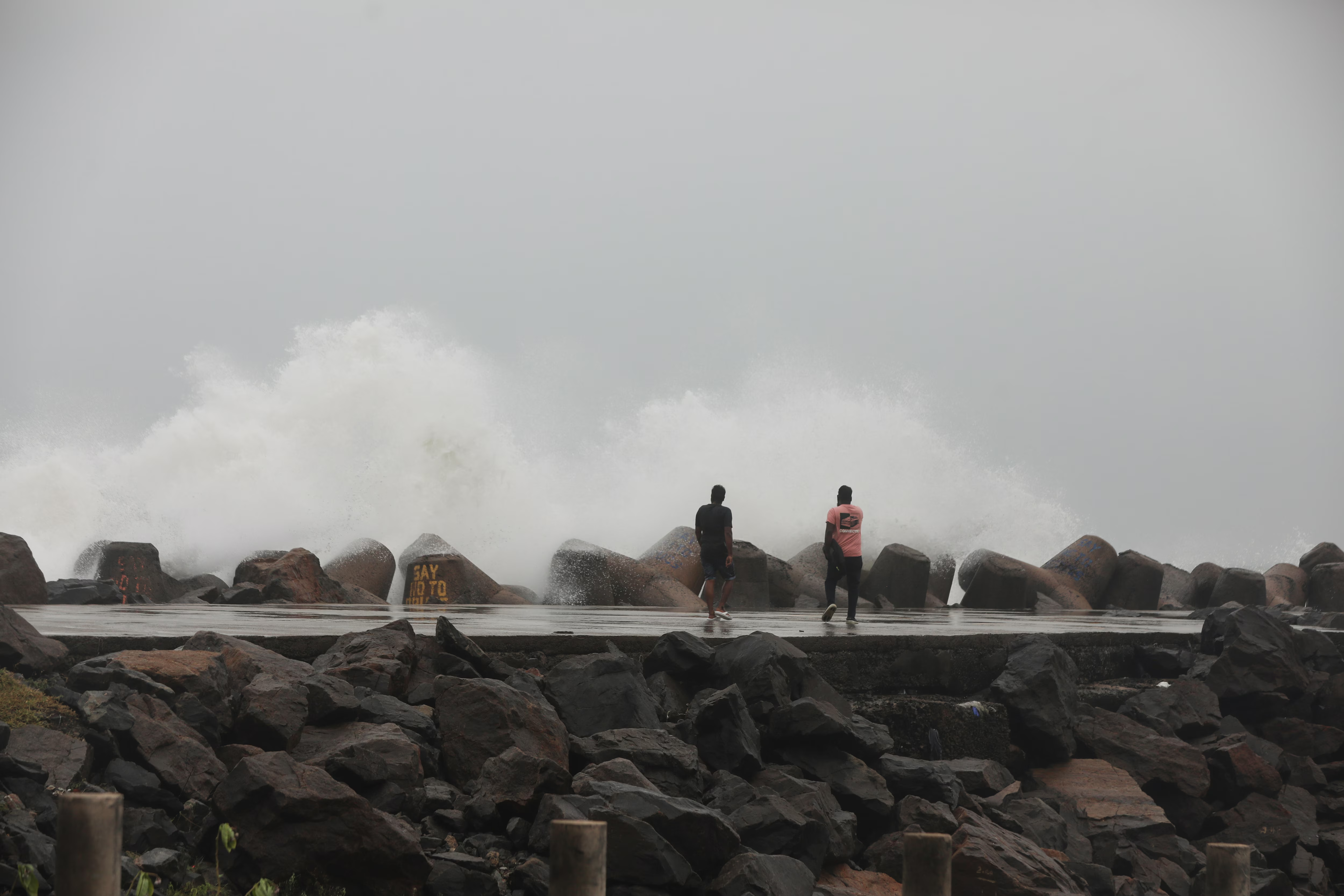
In Puducherry and Karaikal all schools and colleges are closed today and on Saturday as cyclone Fengal is gathering its intensity above Bay of Bengal. Torrential rainfalls supported with heavy winds and also some scopes of flood attack would blow through the region. The concerned people were requested by authorities to be watchful as it can affect land between Karaikal and Mahabalipuram by November 30.

Cyclone Fengal: Present Situation and Track
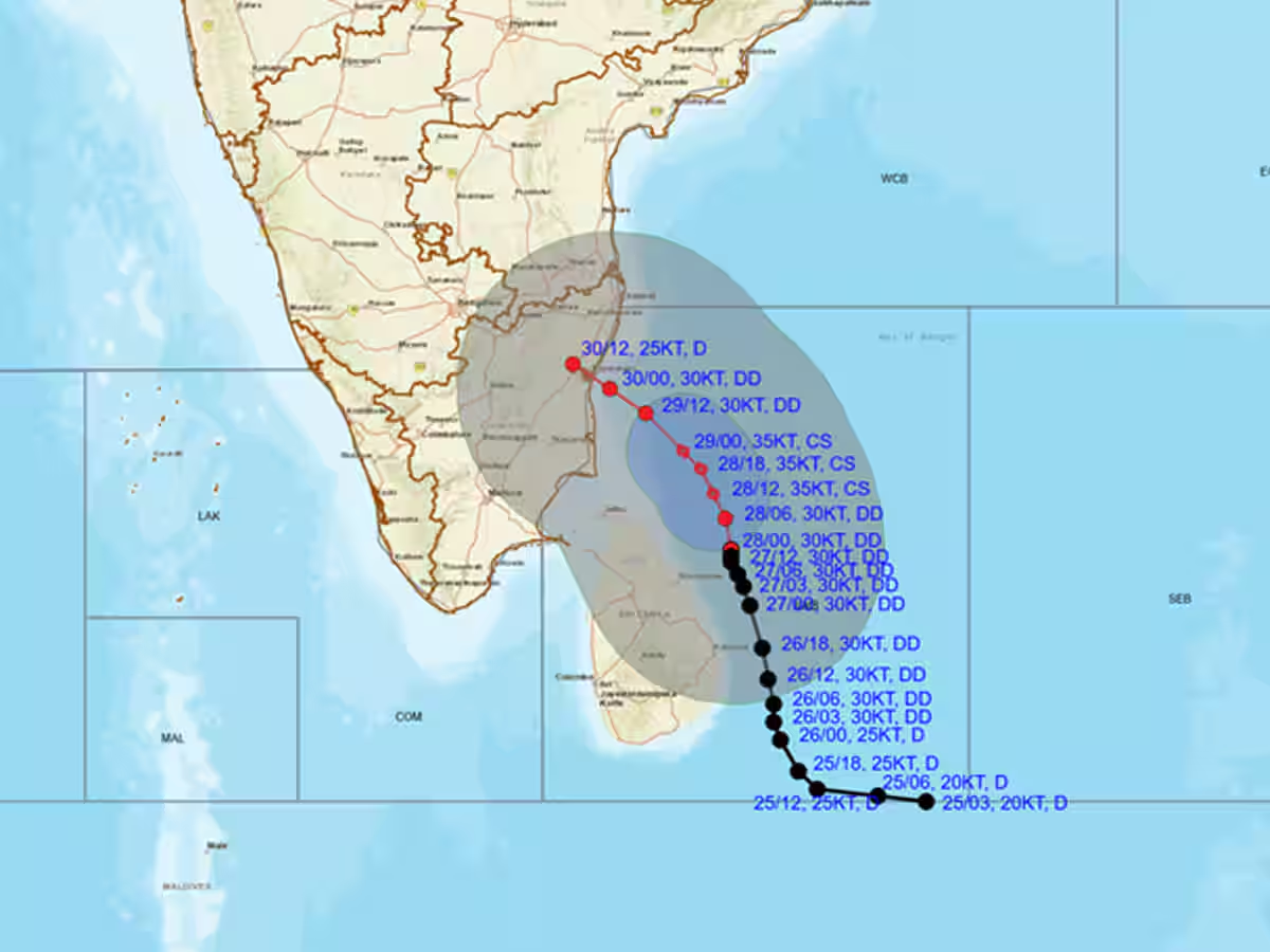
Cyclone Fengal, which is southeast of Nagapattinam and Puducherry is moving north-northwest with gradual intensification. It may become a cyclonic storm by today and wind may reach 85 kmph. The cyclone would brush past Sri Lanka's coast and will land on Tamil Nadu. IMD has issued prediction of rain over Tamil Nadu, Puducherry, and Andhra Pradesh. Northern Tamil Nadu will see very heavy to heavy rainfall in Villupuram, Cuddalore, and Chengalpattu districts on November 29 and 30. Similarly, major parts of Andhra Pradesh and Rayalaseema will receive massive torrents of rain. Strong winds, 50-75 kmph are likely to hit coastal Tamil Nadu, Puducherry, and Karaika. People have been advised to secure their homes and avoid outdoor activities during the storm. IMD has issued a advisory asking fishermen to remain onshore till at least November 31 as sea conditions are expected to be very rough.

Tracking and Warnings
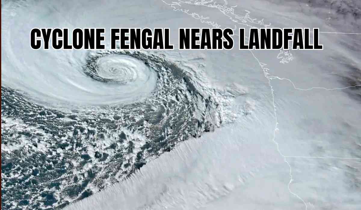
EOS-06 and INSAT-3DR satellites are giving the actual strength and movement of Cyclone Fengal. Heavy rains and squally winds are likely to suspend all types of transportation, such as air, rail, and road transport in these areas. In addition, travelers are advised to look up updates released by the weather department and not to venture out on any unnecessary travels during this time. The district officials and the disaster management groups are finalizing arrangements and sending volunteers in view of the evacuation process and deploying the relief materials.
Inputs by Agencies
Image Source: Multiple Agencies
Ⓒ Copyright 2024. All Rights Reserved Powered by Vygr Media.


