
Hurricane Lee's strength is fluctuating throughout the open Atlantic, and the potent storm could bring catastrophic conditions and life-threatening rip currents to beaches all along the East Coast in the coming days.
The National Hurricane Centre updated its forecast on Sunday, stating that "dangerous surf and rip currents are expected to begin along much of the U.S. East Coast later today and worsen through this week."
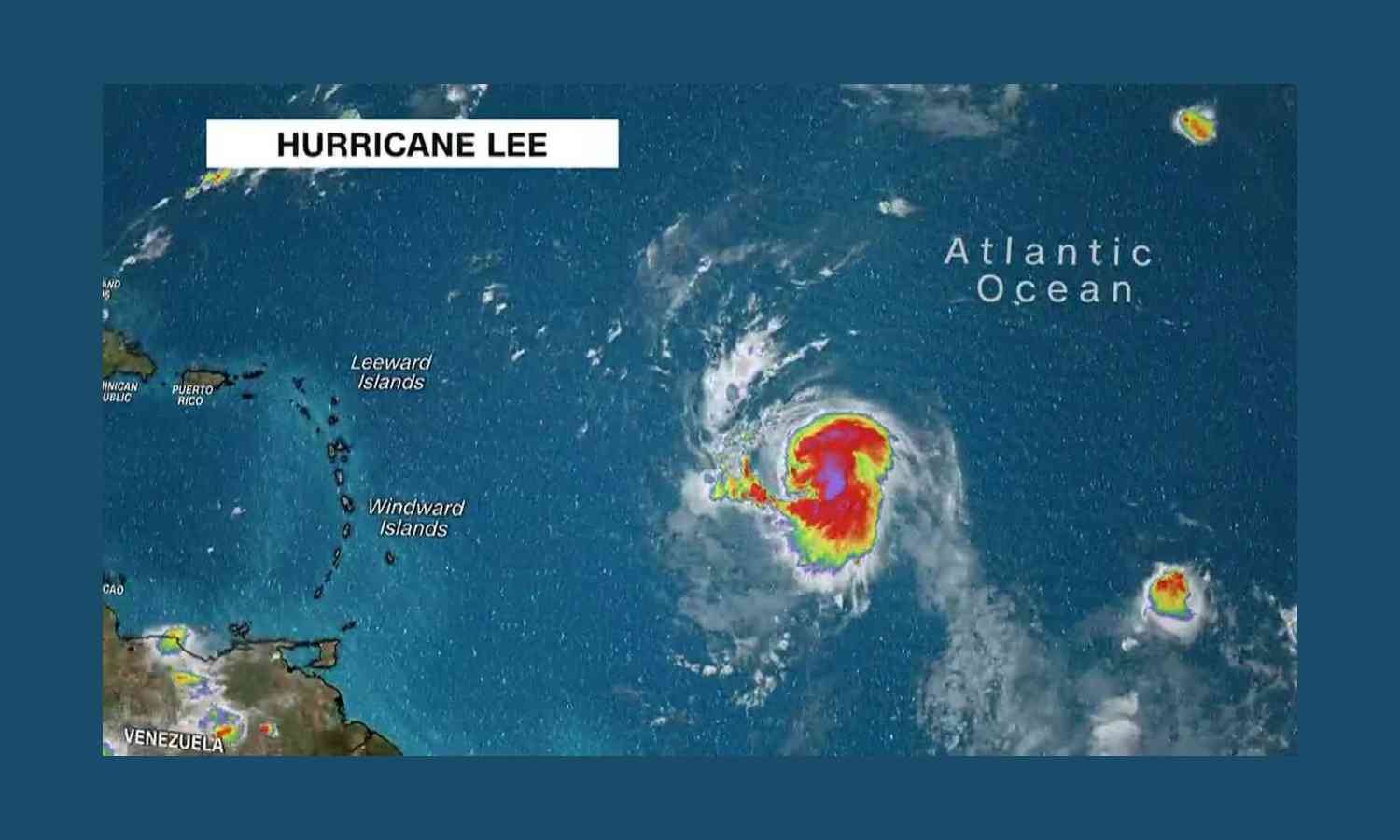
Despite the fact that Lee is predicted to continue moving well north of Puerto Rico, the British and US Virgin Islands, and the northern Leeward Islands, it will still have an impact on those locations as well as other Caribbean islands. It is still too early to predict its long-term course for later this week and the potential severity of its effects on the northeastern US states, Bermuda and Atlantic Canada.
“Swells generated by Lee are affecting portions of the Lesser Antilles,”, the National Hurricane Centre warned Friday night. This weekend's swells could bring dangerous surf and rip conditions to the Bahamas, Bermuda, Puerto Rico, Hispaniola, the Turks and Caicos Islands, and the British and US Virgin Islands.
The National Weather Service office in San Juan, Puerto Rico, predicted waves breaking at 6 to 10 feet on Sunday. This week, waves on east- and north-facing beaches were predicted to be larger.
According to the hurricane centre, Lee is currently a Category 2 storm with maximum sustained winds of 110 mph. Forecasters anticipate Lee to intensify over the next few days. At 11 a.m., ET Sunday, Lee's centre was located about 270 miles northeast of the northern Leeward Islands., moving west-northwest at 8 mph.
As it travelled west over the Atlantic, Lee, a Category 1 storm on Thursday, quickly strengthened to Category 5, more than doubling its wind speeds to 165 mph in only one day.
© Copyright 2023. All Rights Reserved Powered by Vygr Media.