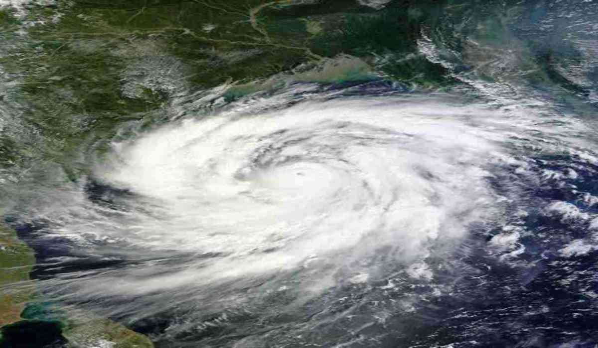
The first pre-monsoon storm of 2023 is intensifying daily in the Arabian Sea. The large depression in the Atlantic has intensified and is now a cyclone that is moving quickly. At 5.30 AM on June 8, Cyclone 'BIPARJOY' was centred over the eastern Arabian Sea at roughly 13.9N and 66.0E, about 860 kilometres from Goa and 910 kilometres from Mumbai. The India Meteorological Department predicts that it will get stronger as it moves towards the north-northwest. The India Meteorological Department predicts that during the following three days, it might intensify into a highly dangerous cyclonic storm. From June 8 to June 10, extremely strong waves have already been anticipated by the IMD. Until June 12, the system is expected to remain a very severe Cyclonic Storm. This will have the greatest impact on Gujarat's coastal cities.

Along with this, the IMD said that the cyclone was heading away from the coastal regions of Karnataka, Goa, Maharashtra, and Gujarat. However, there would still be some high gusts and heavy rain in certain areas, and the cyclone's landfall was anticipated to be in Pakistan. Although it has not projected any significant effects, the IMD has so far predicted its influence on nations bordering the Arabian Sea, including India, Oman, Iran, and Pakistan. Although meteorologists expect that the system will move tentatively in a northerly direction, storms occasionally defy forecasts of course and severity. The government in the coastal cities has been informed by the Indian Meteorological Department. Along with this, the potential for large sea waves has also been mentioned. Let us inform you that Bangladesh has proposed the name "Biparjoy" for the year's first pre-monsoon storm in the Arabian Sea.
© Copyright 2023. All Rights Reserved Powered by Vygr Media.


